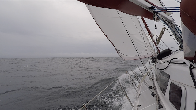
We finally were able to sail the 574 nautical miles from Bara, in the South of the Hebrides archipelago, to Heimaey, the harbour on Vestmannaeyjabær (the Vestmann Islands). All together, it took us four full days, meaning that our average speed was 6 knots. Not too bad!

The window of opportunity was quite narrow as gale level winds were expected along the Hebrides around 8 August, which would have delayed our crossing for another week. But, after carefully looking at the weather forecast we decided to leave within few hours of our assessment as there was an opening with fair winds along the course.
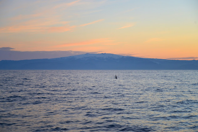
So, we made it...
To refine our planning, we used Weather4D routing and navigation for "routing" our way to Iceland. Weather4D is available from the Apple store for 54€ and operates on IOS devices. The few images below do not have the ambition to be a tutorial, but rather to present in short what we could get from the App.
To do a routing, one should first load the GRIBs for the weather in the area to be covered, then identify an appropriate "polar" for the boat, set the starting and ending point, and the time of departure. GRIBS are datasets indicating the strength and direction of winds on a grid of points over time. Polars provide for a given boat the speed it can go for a certain wind strength and direction. Additional parameters can be used to constraint the routing e.g. avoiding strong winds, going through specific points on the way, using engine if wind is to weak...

Once done, the routing is generated and Weather4D proposes a route, optimized for the weather expected along the way. Of note, the standard version does not include currents and swell in the routing, but these options can be purchased within the app.

Finally, when activating the "Navigation" feature, one can monitor the progress of the boat against the planned route. Most comfortable for those long crossings!


Of interest, on the way through the firing range, we came across a UK patrol boat not visible on our AIS plotter, on full speed. To assess her speed, we activated our radar. But, to much of our surprise, within a minute, the boat disappeared from the radar screen! Obviously, they were not very happy to be monitored by a radar, even if friendly.


Chapeau bas aux deux marins...qui sont arrivés en Islande espere que vous avez du temps pour voir l ile
ReplyDeleteBonne visite..genevieve